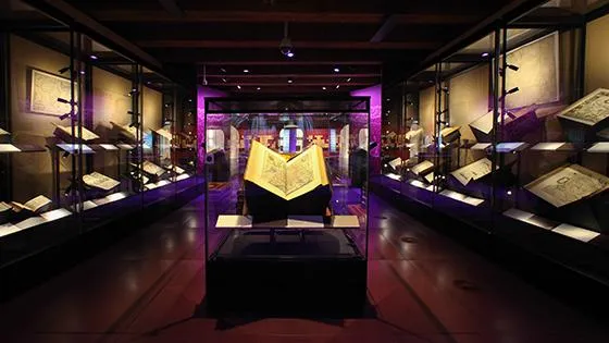
The Atlases exhibition has been in Het Scheepvaartmuseum from April 2014 to November 2018. Here you went on a journey with the maps and atlases that forever changed how we see the world.
This exhibition showed you top pieces from The National Maritime Museum's extensive collection of maps and atlases. Get acquainted with the four pioneers of cartography: Ptolemy, Mercator, Claesz, and Blaeu. These map makers and publishers produced maps and atlases that forever changed how we see the world.
First maps of America
Your journey shows you extraordinary objects such as the first maps of America, the 'Unknown land of the South', and a detailed city map of Amsterdam. These maps and atlases, produced between 1482 and 1665, are unique historical documents and a feast for the eyes with their rich decorations.
Come see them for yourself: the top pieces from our extensive collection of maps and atlases
What did our streets look like in the Dutch Golden Age?
The website Streete View is part of this new exhibition. Streete View shows you what the streets of Amsterdam looked like in the Dutch Golden Age.
Get a world map for your own living room
Our museum shop The Warehouse offers beautiful and special world maps of map makers Ortelius and Ptolemeus and also a special edition of the European and Amsterdam maps of master Blaeu. These maps have been printed on high quality Italian paper and are available in limited edtions.