- Duration: until 21 April 2025
In the exhibition Maps, visitors discovered how the western image of the world had been shaped by the maps and coastal views created by Dutch cartographers 400 years ago. They travelled from Amsterdam to Brazil and South Africa, then on to Australia, Indonesia and India.
Maps
Maps shows how the western image of the world has been shaped by the maps and coastal views created by Dutch cartographers. From the end of the sixteenth century, Dutch sailors ventured further and further away from home. Their findings formed the basis for the maps and charts they produced. These in turn became more and more detailed. Yet maps were not only factual documents: they were also a source of power. Knowledge of an area made it possible to send ships, whether carrying merchants for trade or soldiers for war.
Start your exhibition journey in Amsterdam: the most important port and trade city in the Dutch Republic. We then travel with Dutch ships to the different places where they were present in the seventeenth and eighteenth centuries. Via Brazil and South Africa, Australia, Indonesia and India are reached. When the ships arrived back in Europe, the data they had collected was recorded in prints and maps.
The exhibition Maps is on show until 21 April 2025.
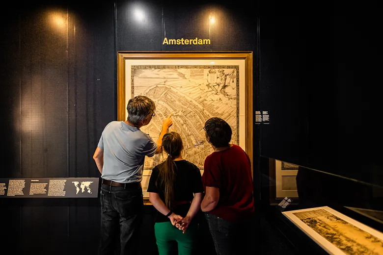
Visitors in the exhibition Maps